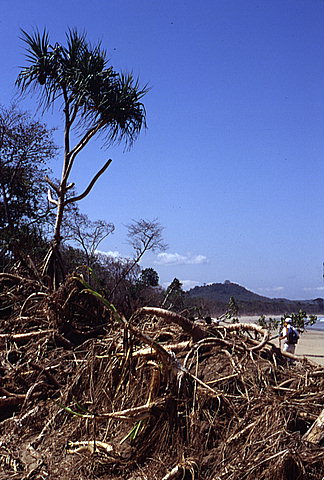
Runup at this location on the shoreline at the east end of Pancer was measured at 6.7 meters above mean sea level. The bottom leaves of the tree on the left side of the picture, dead from contact with saltwater, were used as a trace mark for the runup measurement.
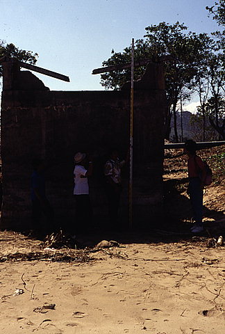
Runup at this location on the shoreline at the east end of Pancer was measured at 6.3 meters above mean sea level. The top of the masonry wall was used as a trace mark for the runup measurement.
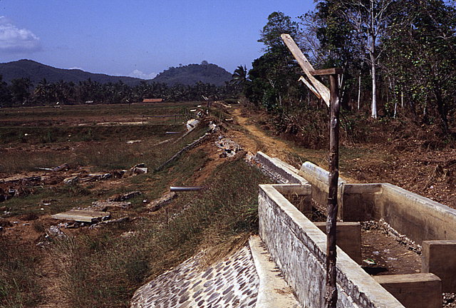
Runup at this location, approximately 370 meters inland from the pump station shown in the previous image, was measured at 5.7 meters above mean sea level. The top of the remaining wall was used as a trace mark for the runup measurement.
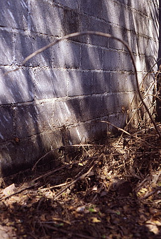
A watermark left by the tsunami on the outside wall of one of the undamaged homes in Pancer.
![[Help]](/tsunami/images/help.gif)
![[Table of Contents]](/tsunami/images/tcarrow.gif)
![[Events]](/tsunami/images/events.gif)
![[East Java]](/tsunami/images/eastjava.gif)
![[Pancer]](/tsunami/images/pancer.gif)