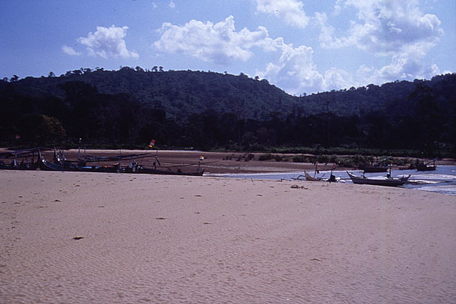
Tsunami deposition on beach and tidal flat at Pancer, Java. View looking west near west end of pre-tsunami village.
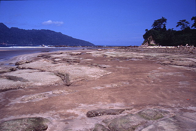
Exposed beach rock from erosion on the west bank of the stream at the west end of Pancer, Java. View looking southeast.
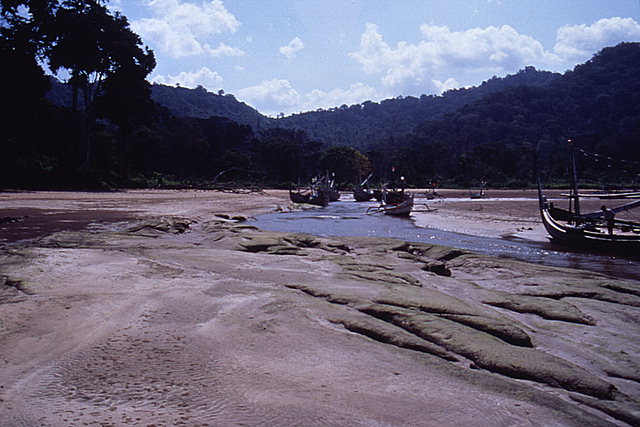
Exposed beach rock from erosion on the west bank of the stream at west end of Pancer, Java. Tidal flat in the background. View looking north.
Tsunami deposition at west end of Pancer, Java. View looking southeast.
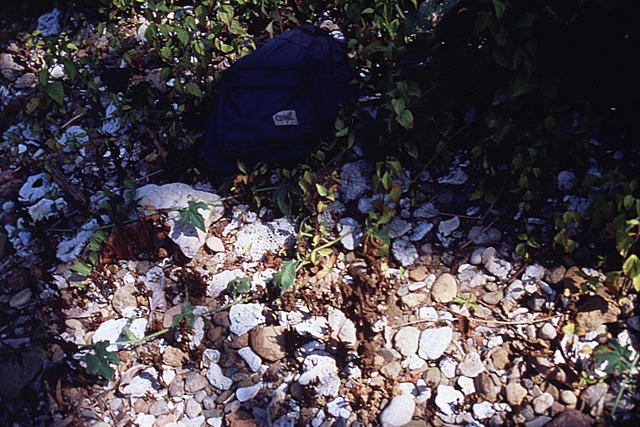
Tsunami deposit at west end of Pancer, Java. Coral and terrigenous boulders, cobbles, and pebbles were deposited in a sandy matrix. Photograph taken approximately 10 m northwest of backpack shown in previous image.
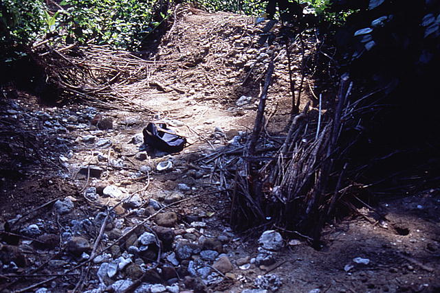
Tsunami deposition and vegetation bent over by tsunami at west end of Pancer, Java. View looking northwest about 25 m landward of location shown in previous image.

Tsunami deposition and vegetation bent over by tsunami at west end of Pancer, Java. View looking northwest.
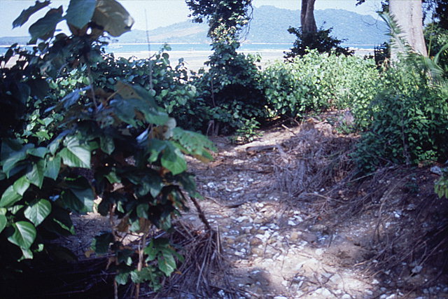
Tsunami deposition and vegetation bent over by tsunami at west end of Pancer, Java. View from about 10 m from the beach looking southeast towards the direction of approach of the tsunami wave.
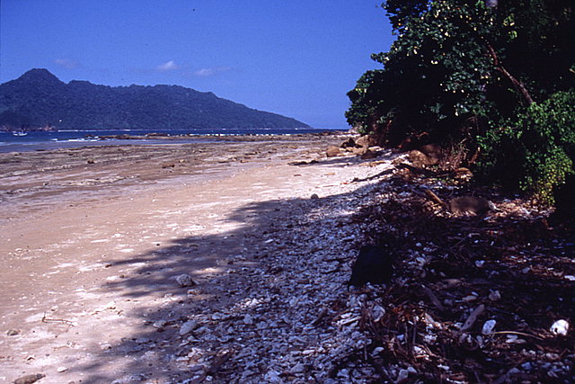
Tsunami deposition on beach west of the stream at Pancer, Java. View looking southeast.

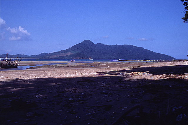
Tsunami deposition on beach and tidal flat at west end of Pancer, Java. View looking east towards the site of the village before the tsunami.
![[Help]](/tsunami/images/help.gif)
![[Table of Contents]](/tsunami/images/tcarrow.gif)
![[Events]](/tsunami/images/events.gif)
![[East Java]](/tsunami/images/eastjava.gif)
![[Pancer]](/tsunami/images/pancer.gif)