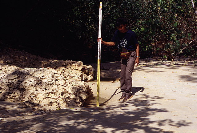
Tsunami-induced erosion resulted in the formation of this scarp along the shoreline of a small cove located on the backside of Sempu Island.
Tsunami-induced erosion in the same cove also resulted in the formation of a long, narrow depression that extended approximately 50 meters inland through a forested valley bordering the cove. According to the local guide, the rocky outcrop in the right-hand corner of the picture was exposed by the tsunami. Erosion depth at this location was estimated to be over one meter. View looking inland.
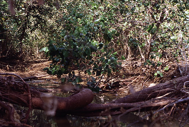
Close-up of depression located on the backside of Sempu Island. Picture taken approximately 10 meters inland from the outcrop shown in the previous image. Note the toppled trees whose roots have been undermined by the tsunami. View looking inland.
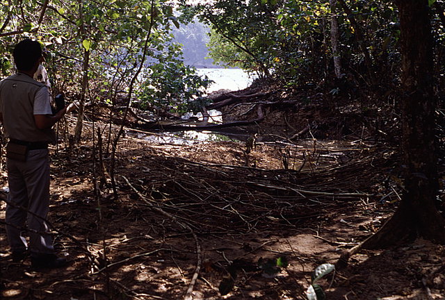
View looking towards the channel across the tsunami-formed depression on the backside of Sempu Island.
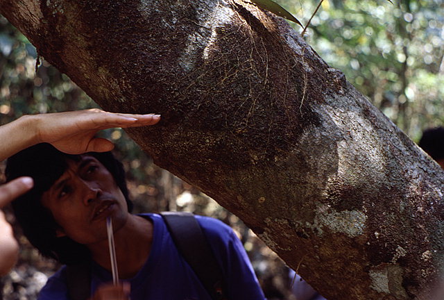
Runup limit of the sediment-laden flow is distinguished by the distinct sand-encrusted line on this tree trunk on the backside of Sempu Island near the eroded depression.
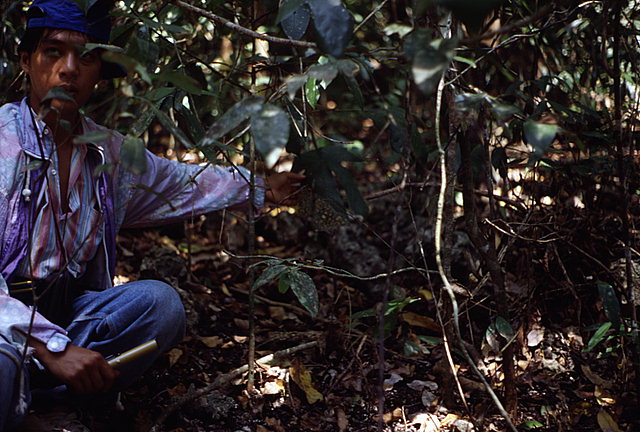
On the backside of Sempu Island again, inland from the eroded depression, sand-covered leaves were indicative of a high level of suspended sediment in the flow. Note the distinct inundation line on the leaf held by one of the survey team members.
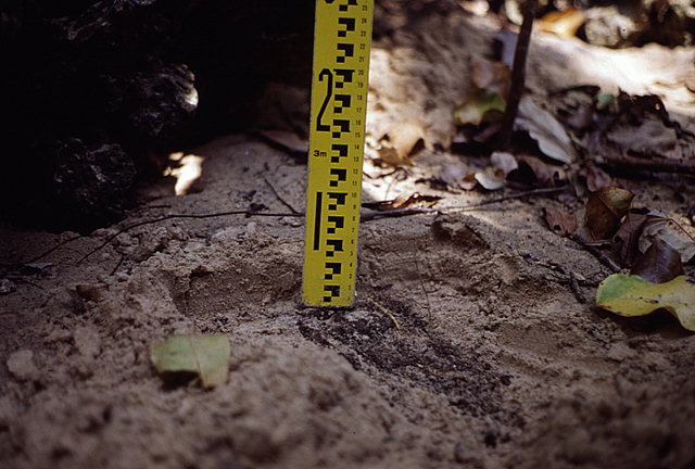
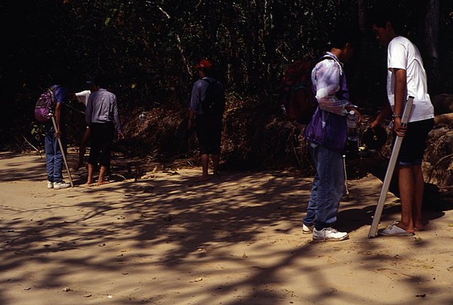
The tsunami deposited a thin sand sheet, approximately 5 cm thick, in the area behind the depression.
![[Help]](/tsunami/images/help.gif)
![[Table of Contents]](/tsunami/images/tcarrow.gif)
![[Events]](/tsunami/images/events.gif)
![[East Java]](/tsunami/images/eastjava.gif)
![[Sempu Island]](/tsunami/images/sempu.gif)