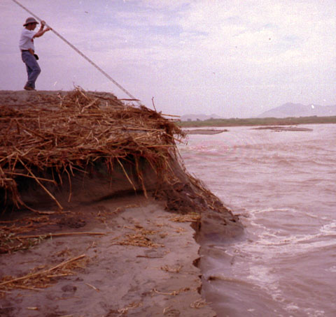

At each survey location the team attempted to obtain measurements of
inundation distance and runup elevations with respect to local sea levels.
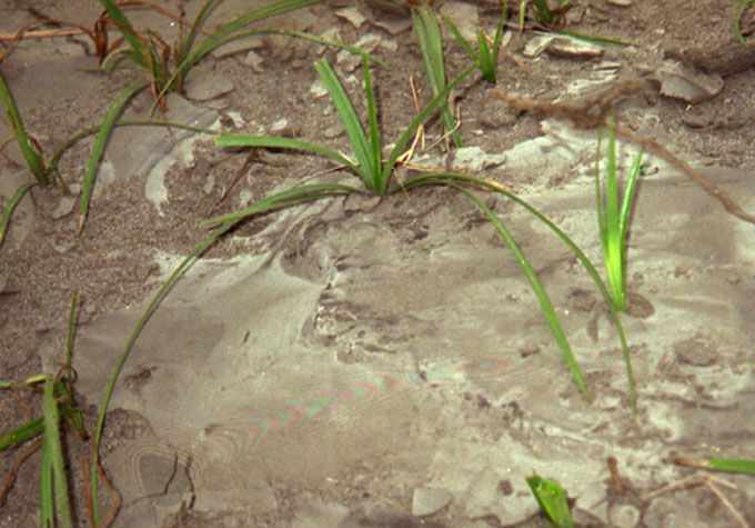
Runup heights were often based primarily on the evidence of debris lines
which in this region can be easily erased by the
blowing sand.
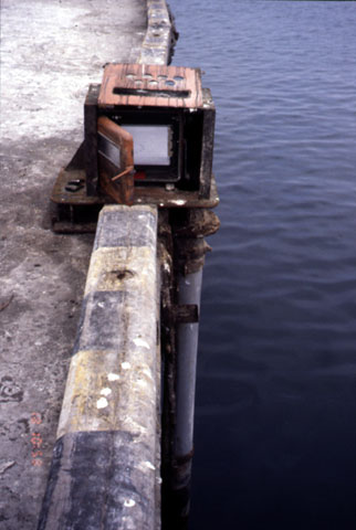
Records for the day of the tsunami were obtained from the tide gauging
stations at the ports of Salaverry and
Chimbote. The tide gauges at Salaverry and
Chimbote were tube type gauges with a two inch bottom orifice and a float
for mechanical registry of the tide level.
The tide gauge for the port of Chimbote is located on a spur of the northernmost pier on the port. During the tsunami, this pier was inundated for the landward 700 m of its lenght. On February 21, the port captain's office reported a meteorological super-elevation of the tide of 15 cm because of the weather conditions. The normal tide variation for Chimbote is approximately 1m. The gauge shows the arrival of the wave shortly after 9:00 a.m. local time on February 21.