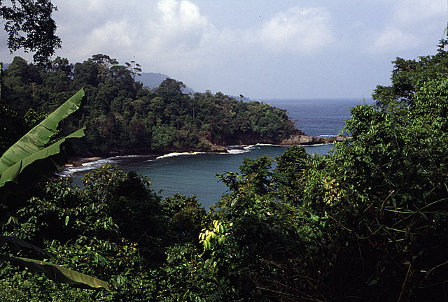
Gerangan Bay. The village of Gerangan is located in the left-hand corner of the picture. View looking southwest.
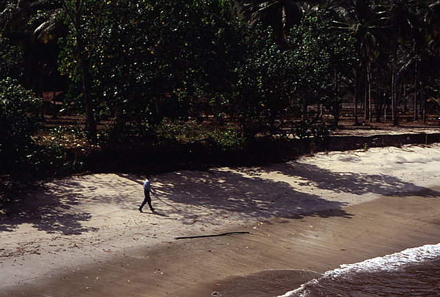
Extensive tsunami-induced erosion occurred to the pocket beach along which the village of Gerangan is located. Note the scarp, approximately one-meter high, that was formed by the tsunami.
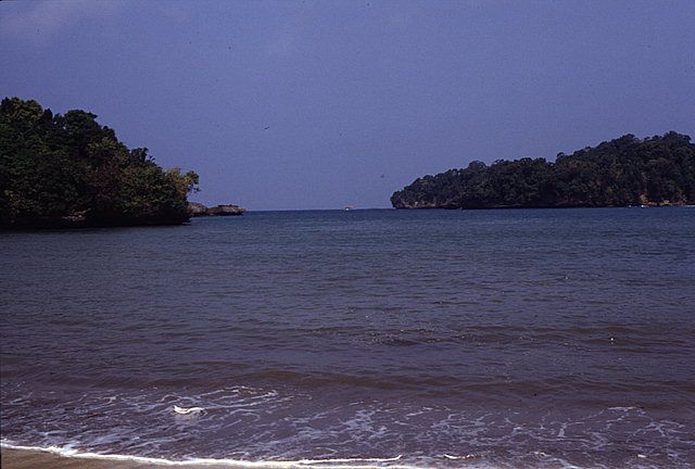
The view of Gerangan Bay, looking south from the beach shown in the previous picture. Note how protected Gerangan is from wind-generated swell.
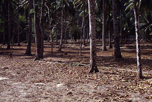
The view looking inland (north) near the beach (just inland from the scarp) through the coconut grove that was inundated by the tsunami. Nine homes were destroyed in the grove by the tsunami.
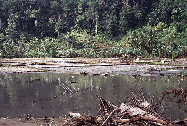
The view looking inland (north) on the landward side of the coconut grove across an inundated rice paddy. Note the debris deposited by the tsunami in the picture's foreground. The horizontal penetration of the tsunami was estimated to be over 500 m from the beach shown in earlier pictures.
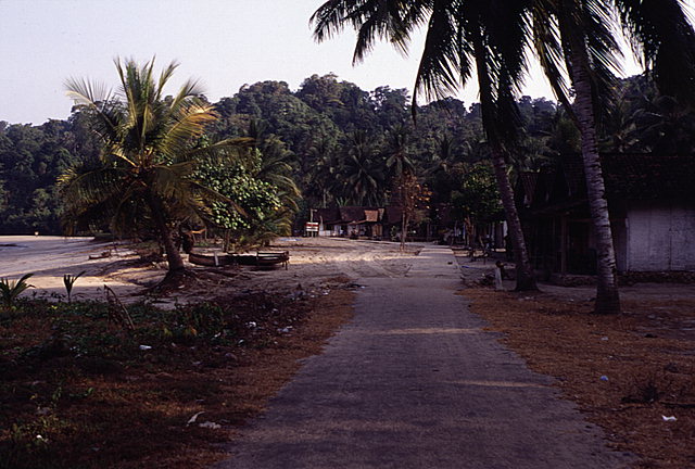
The view looking west along the beach-front village of Brumburn. Brumburn is located immediately to the west of Gerangan in a adjacent bay, which, like Gerangan Bay, is also protected from wind-generated swell. Runup measured at Brumburn ranged from 3.7 to 4.8 meters above mean sea level, slightly less than the 4.6 to 5.5 meters measured at Gerangan. The tsunami caused no significant structural damage in Brumburn.


![[East Java]](/tsunami/images/eastjava.gif)
![[Gerangan]](/tsunami/images/gerangan.gif)