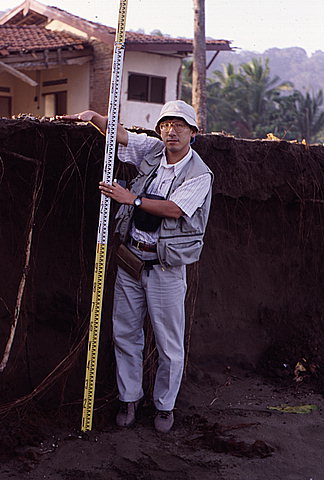
Tsunami-induced erosion formed this scarp that extended along the shoreline at Rajekwesi. Dr. Imamura holds the surveying rod next to the scarp, with his right hand held approximately 1.6 meters above the ground in front of the scarp.
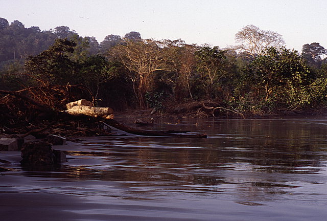
View east along the shoreline at Rajekwesi. Note the toppled trees that were undermined by the tsunami. Foundation piers from the remains of a Dutch settlement, in the foreground on the left, had approximately 1.5 meters of soil eroded from beneath them. However, the piers were not substantially transported by the tsunami.
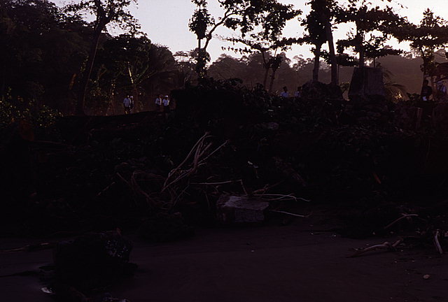
View inland (north) . Foundation piers from the remains of a Dutch settlement, in the foreground, had approximately 1.5 meters of soil eroded from beneath them. However, the piers were not substantially transported by the tsunami. Note the undisturbed piers in the upper right-hand corner of the picture.
![[Help]](/tsunami/images/help.gif)
![[Table of Contents]](/tsunami/images/tcarrow.gif)
![[Events]](/tsunami/images/events.gif)
![[East Java]](/tsunami/images/eastjava.gif)
![[Rajekwesi]](/tsunami/images/rajekwesi.gif)