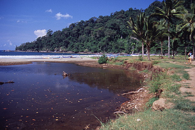
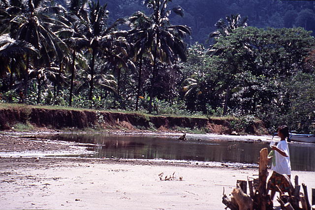
West bank of stream eroded by tsunami at Rajekwesi, Java. View looking southwest towards the ocean.
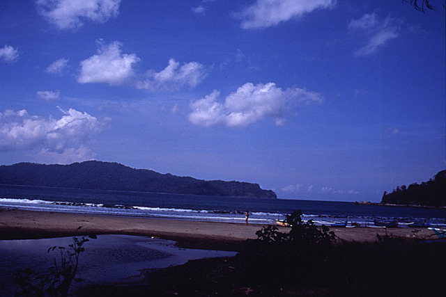
Mouth of stream closed by sand deposition on the beach at Rajekwesi, Java. View looking south.
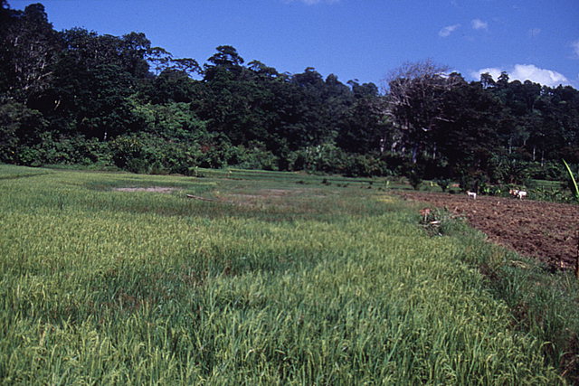
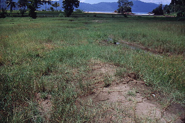
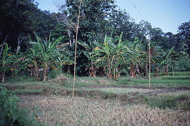
Patchy tsunami deposits in rice field at west end of Rajekwesi, Java. View looking north.
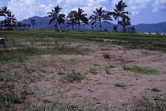
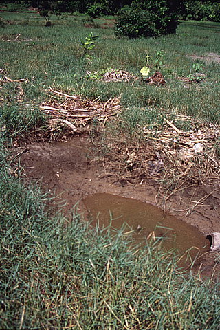
Sandy tsunami deposit in field at Rajekwesi, Java. View looking southeast.
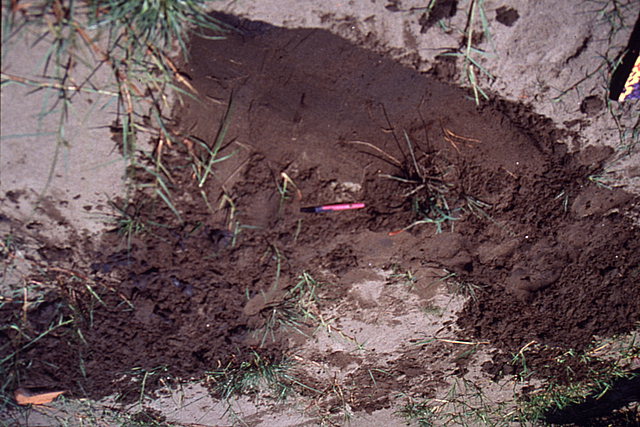
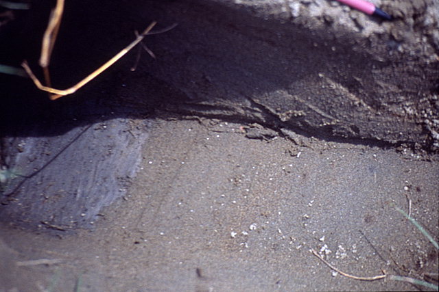
Trench in sandy tsunami deposit in field approximately 200 m inland at Rajekwesi, Java. Muddy sediment deposited before the tsunami at bottom right corner of trench. Left side of trench inclined to expand vertical section to show grading.
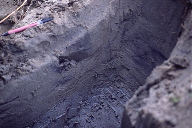
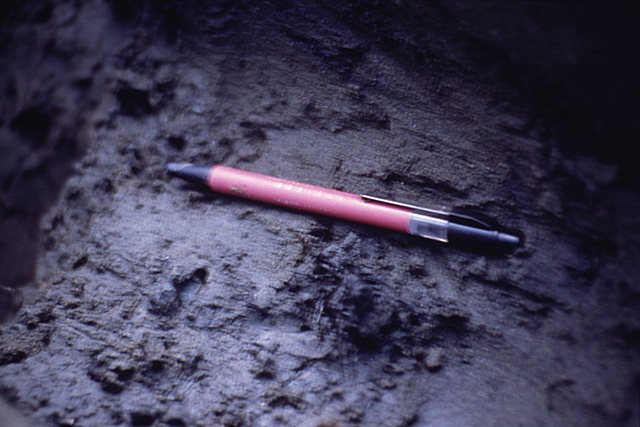
Close up of inclined portion of trench shown in previous image.
Tsunami deposit on irregular topography at Rajekwesi, Java. View looking southeast.
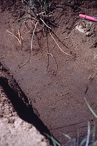
Trench in sandy tsunami deposit in field approximately 300 m inland at Rajekwesi, Java. Muddy sediment deposited before the tsunami at bottom of trench.
Root mass buried by tsunami deposit at Rajekwesi, Java.
Rice field with sand deposited by tsunami at Rajekwesi, Java. View looking north.
Trench in sandy tsunami deposit in field approximately 300 m inland at Rajekwesi, Java. Muddy sediment deposited before the tsunami at bottom left of trench. Right side of trench inclined to expand vertical section to show grading.
Dead vegetation deposited by tsunami in a field at the west end of Rajekwesi, Java.
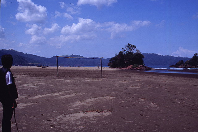
Beach and tsunami deposit at the west end of Rajekwesi, Java. View looking southeast.
West bank of stream eroded by tsunami at Rajekwesi, Java. View looking north.
![[Help]](/tsunami/images/help.gif)
![[Table of Contents]](/tsunami/images/tcarrow.gif)
![[Events]](/tsunami/images/events.gif)
![[East Java]](/tsunami/images/eastjava.gif)
![[Rajekwesi]](/tsunami/images/rajekwesi.gif)