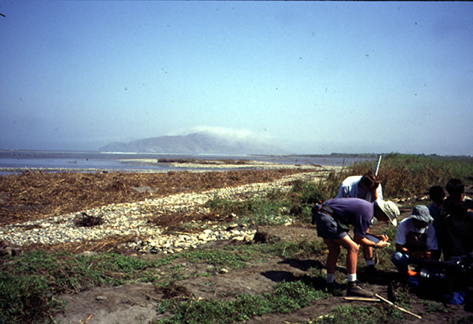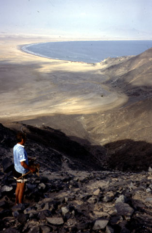

Playa Alconsillo taken from Peninsula de Ferrol (South of Chimbote).
There is a black dot in the center of the photograph which is a boat
that was carried on shore by the tsunami.
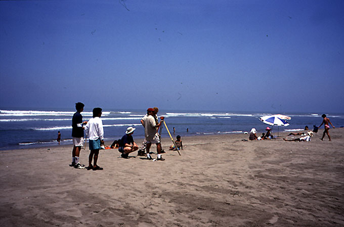
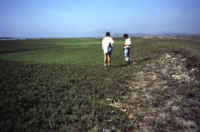
The coast of Peru is arid with areas of wind blown sand. The beaches are
of two main types: wide fairly plane accretionary beaches with very flat
slopes, and sheltered curved beaches anchored by rocky outcrops. The
curved beaches usually have somewhat steeper slopes.
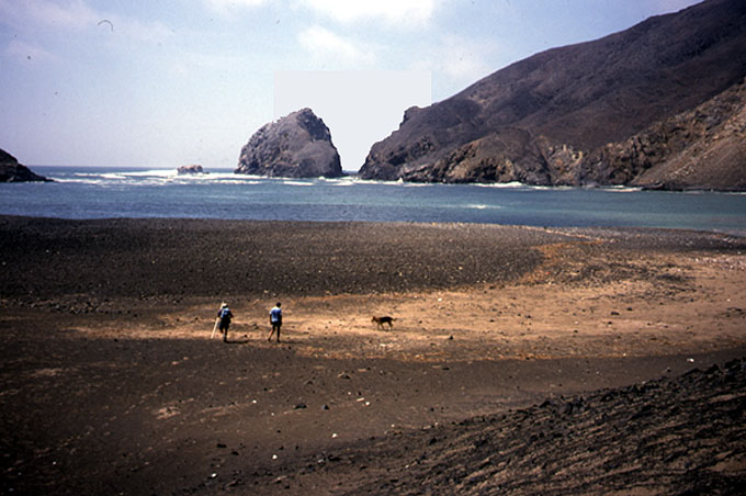

Ensenada La Posa. This photograph was taken looking south west from
Peninsula de Ferrol.
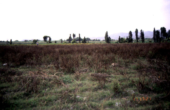
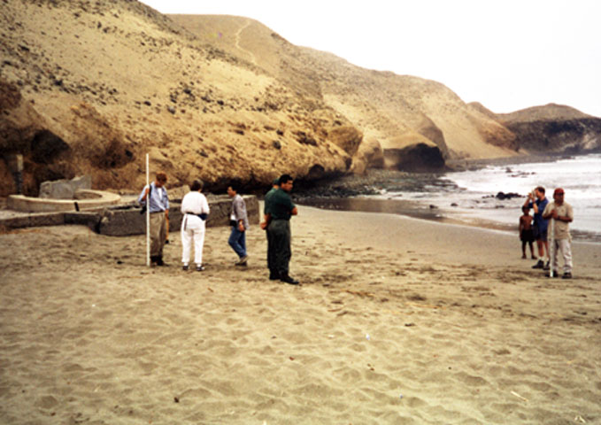
Since there is very little vegetation outside of irrigated areas near the
rivers, traditional evidence of tsunami passage such as marks on trees were
usually absent. Runup Data was often based
primarily on the evidence of debris lines which in this region can be
easily earased by blowing sand.