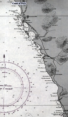

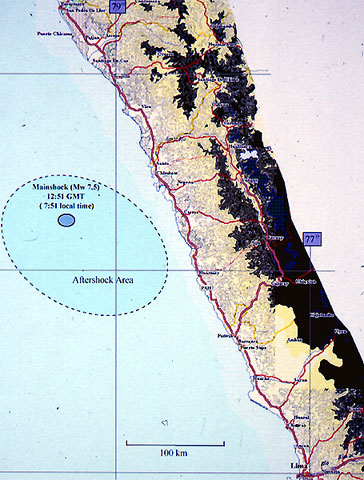
On February 21, 1996, at 12:51 p.m. GMT (7:51 a.m. local time), a large
earthquake struck approximately 130 Km off the northern coastal region of
Peru (9.6S, 80.2W). The earthquake had a Harvard Mw estimate of 7.5 and
USGS Mw estimate of 7.3. The earthquake created a tsunami that reached
Peru centering on the city of Chimbote.
Effects of the tsunami were observed from Pascasmayo, in the department
of La Libertad, to the Port of Callao near Lima. The straight line distance
between these two locations is approximately 590 Km. The tsunami was
recorded by mid-Pacific tide gages, 60 cm at Easter Island, and 25 cm at
Hilo, Hawaii. The aftershock pattern ranged from 120 to 180 Km offshore
near the Peru-Chile trench and appreared to parallel the Peruvian coastline.
In March of the same year, an International Survey
Team, composed of scientists from Peru, Canada, and USA, arrived in
Peru to observe and study the damages that the
tsunami left behind. The team took runup data, interviewed eyewitnesses, and took pictures of the affected areas.